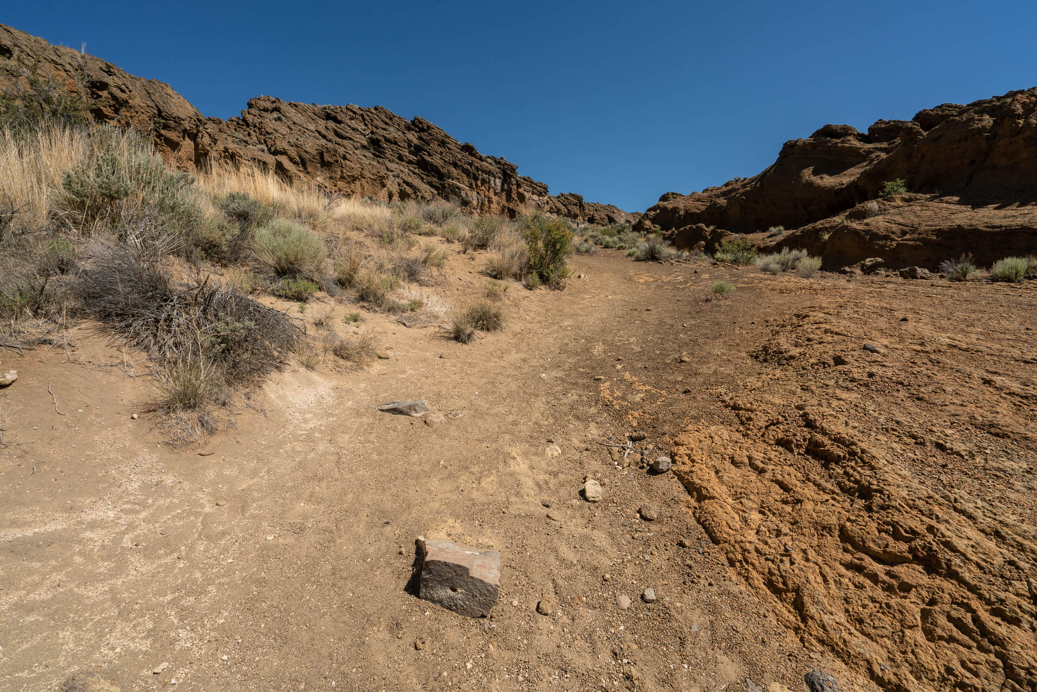
Our second stop on our random driving tour of southeastern Oregon was Fort Rock.
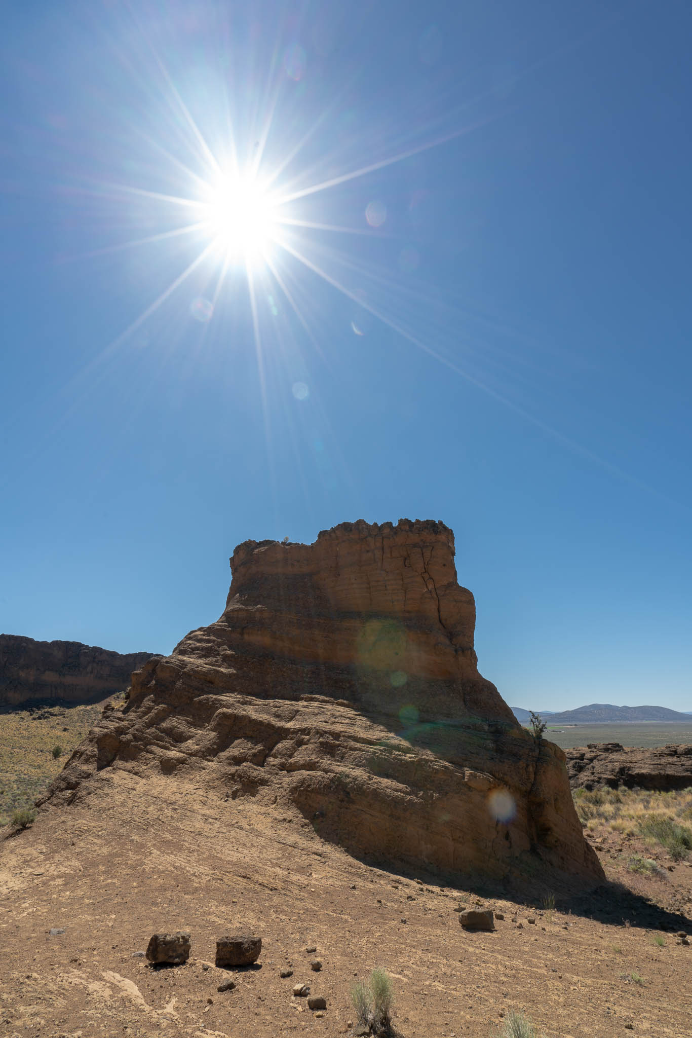
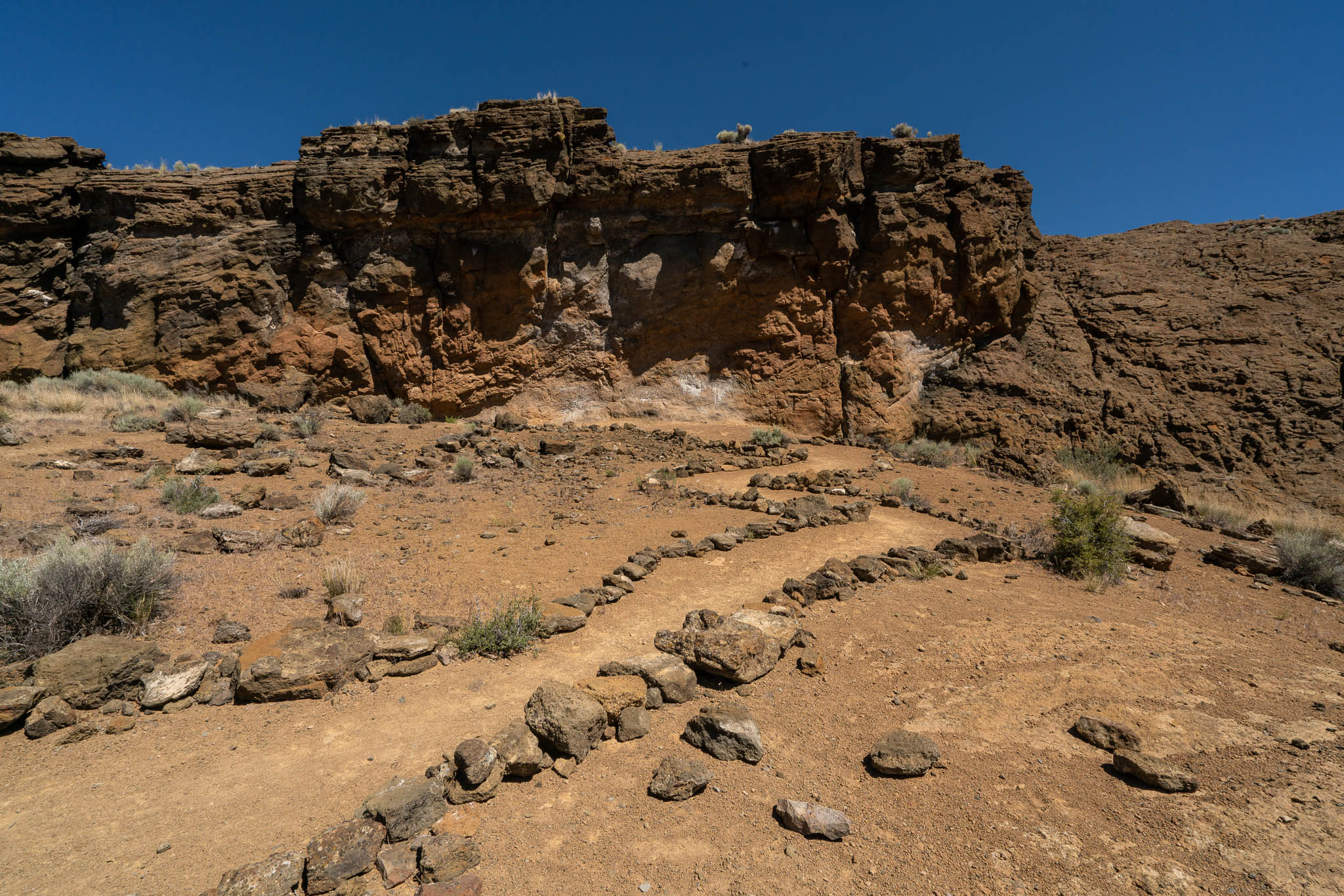
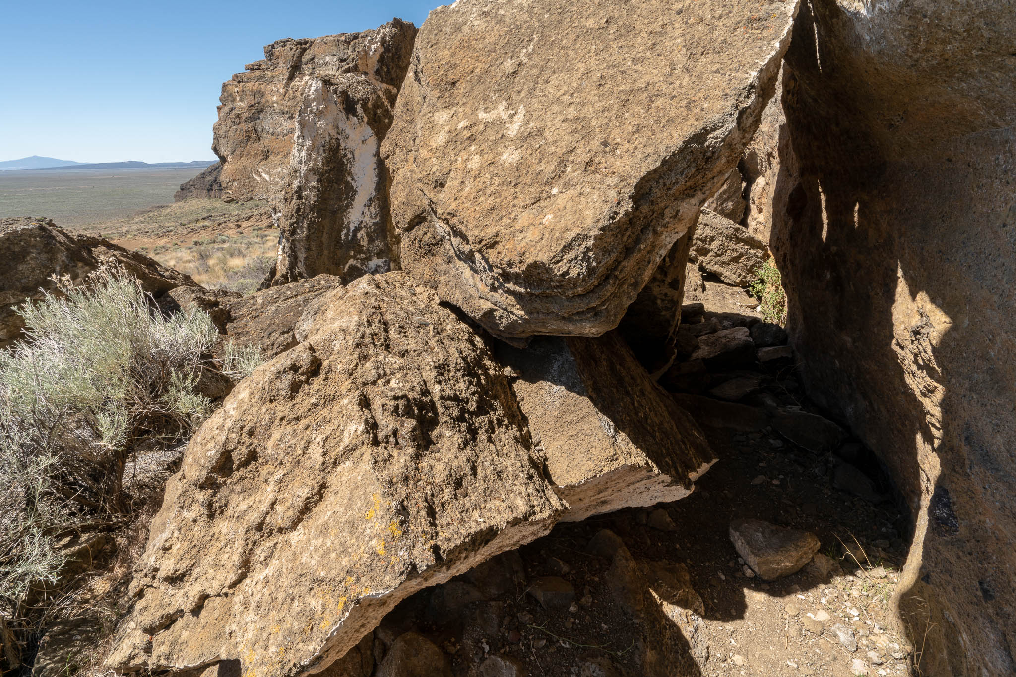
Fort Rock was created when basalt magma rose to the surface and encountered the wet muds of a lake bottom. Powered by a jet of steam, molten basalt was blown into the air, creating a fountain of hot lava particles and frothy ash. The pieces and blobs of hot lava and ash rained down around the vent and formed a saucer-shaped ring of lapilli tuff and volcanic ash sitting like an island in the lake waters. Steam explosions also loosened angular chunks of black and red lava rock comprising the valley floor.
Aside from the obvious above geology lesson, there is also a small homestead settlement at Fort Rock out on the main road. They have a museum with all of prerequisite old buildings, a gas station, and a little store. There’s really not a lot out this way, but I would like to go back and visit sometime when the museum and historical buildings are open. It would probably be pretty interesting.
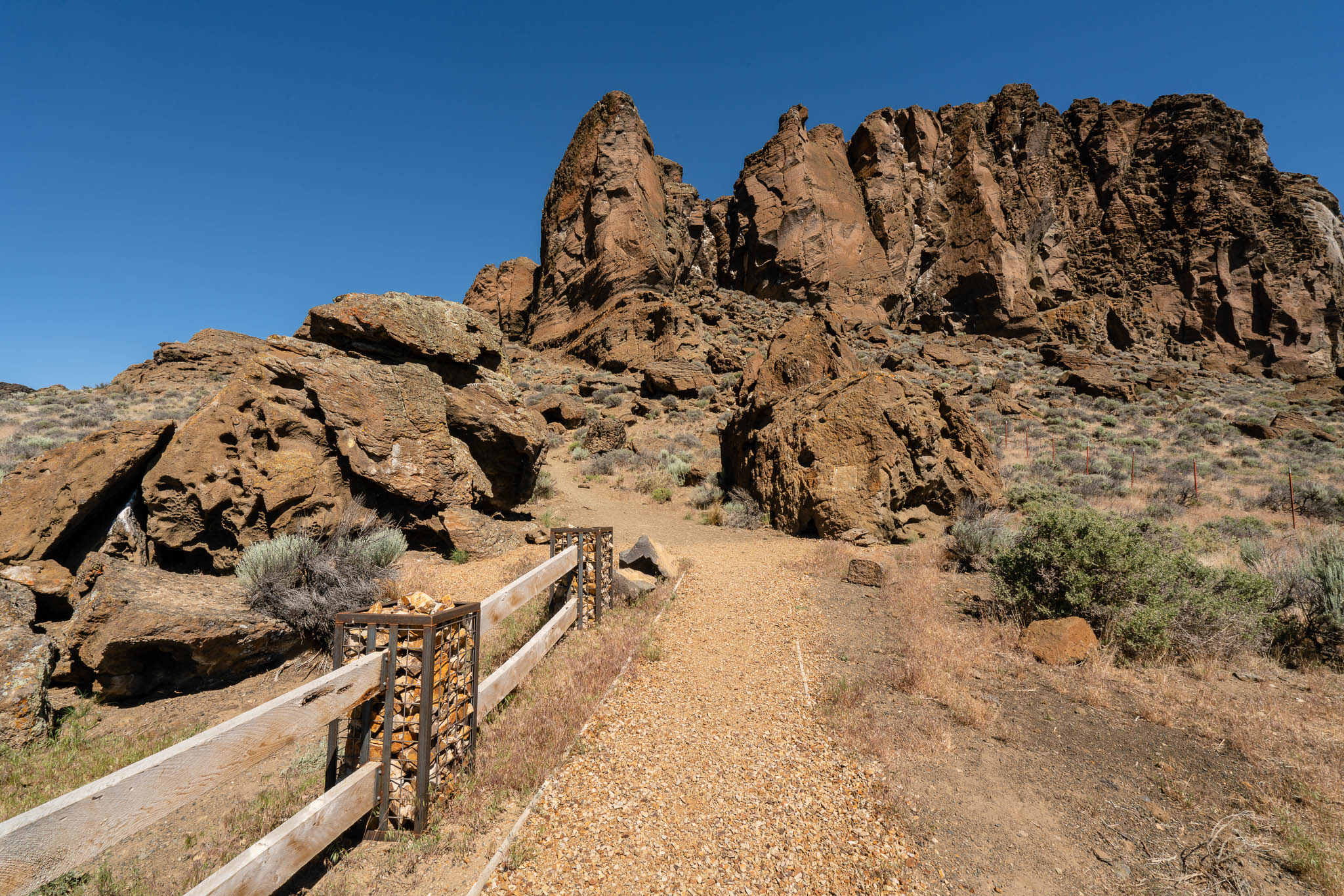
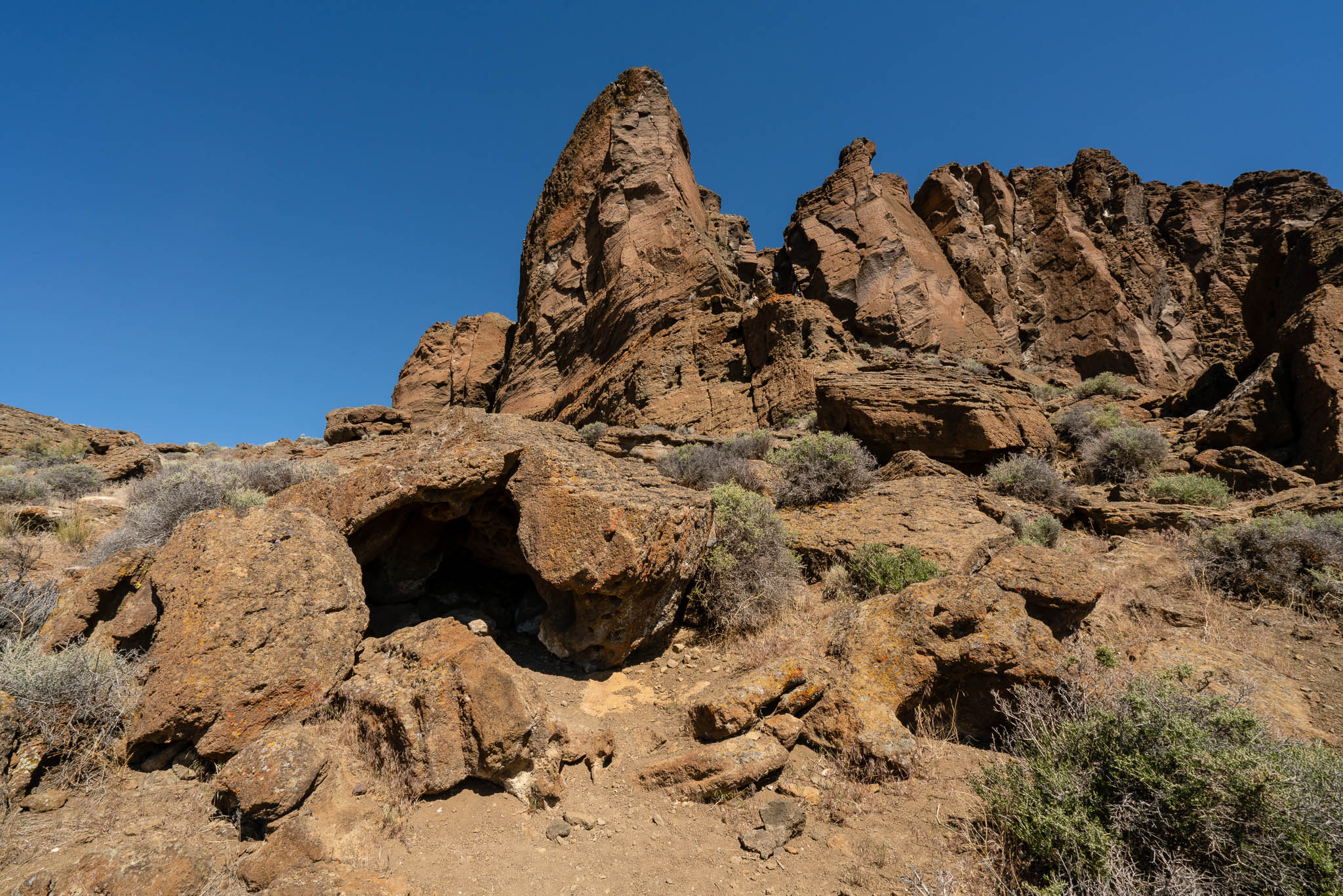
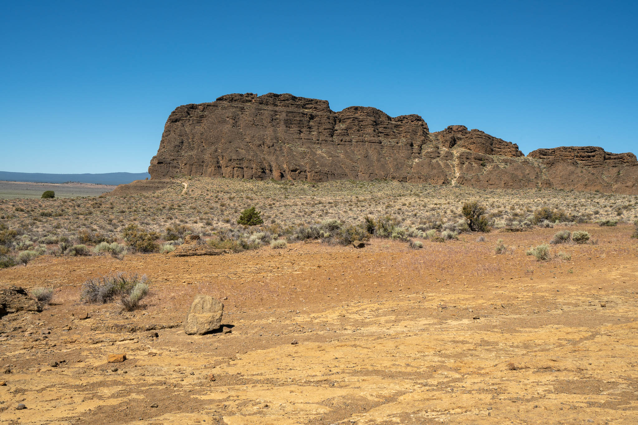
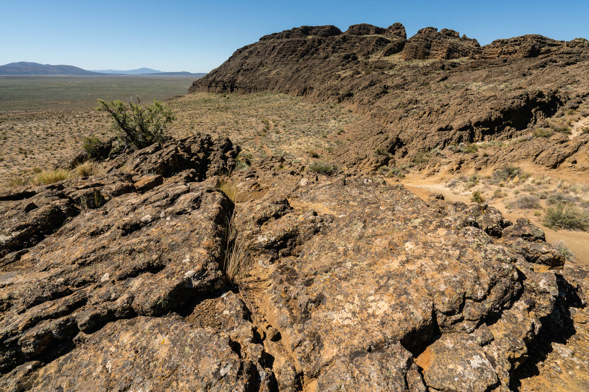
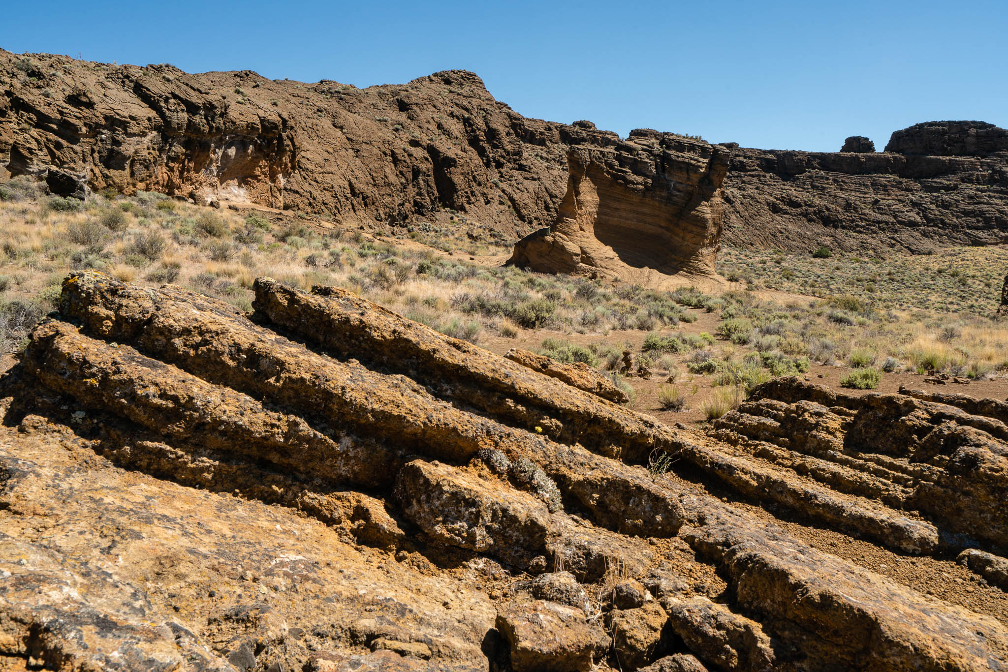
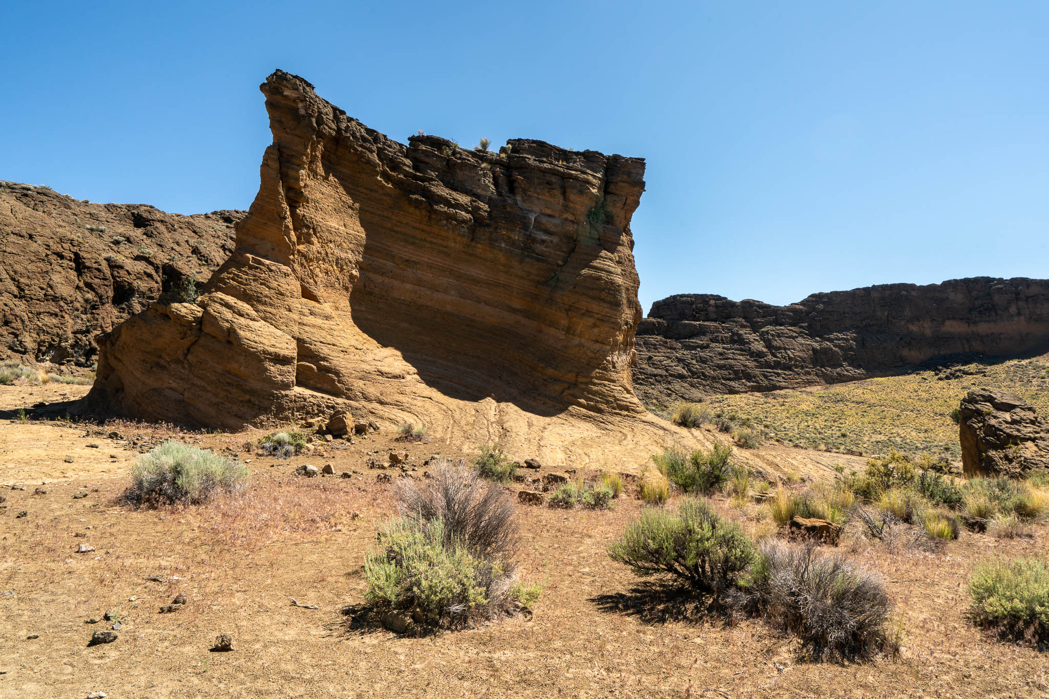
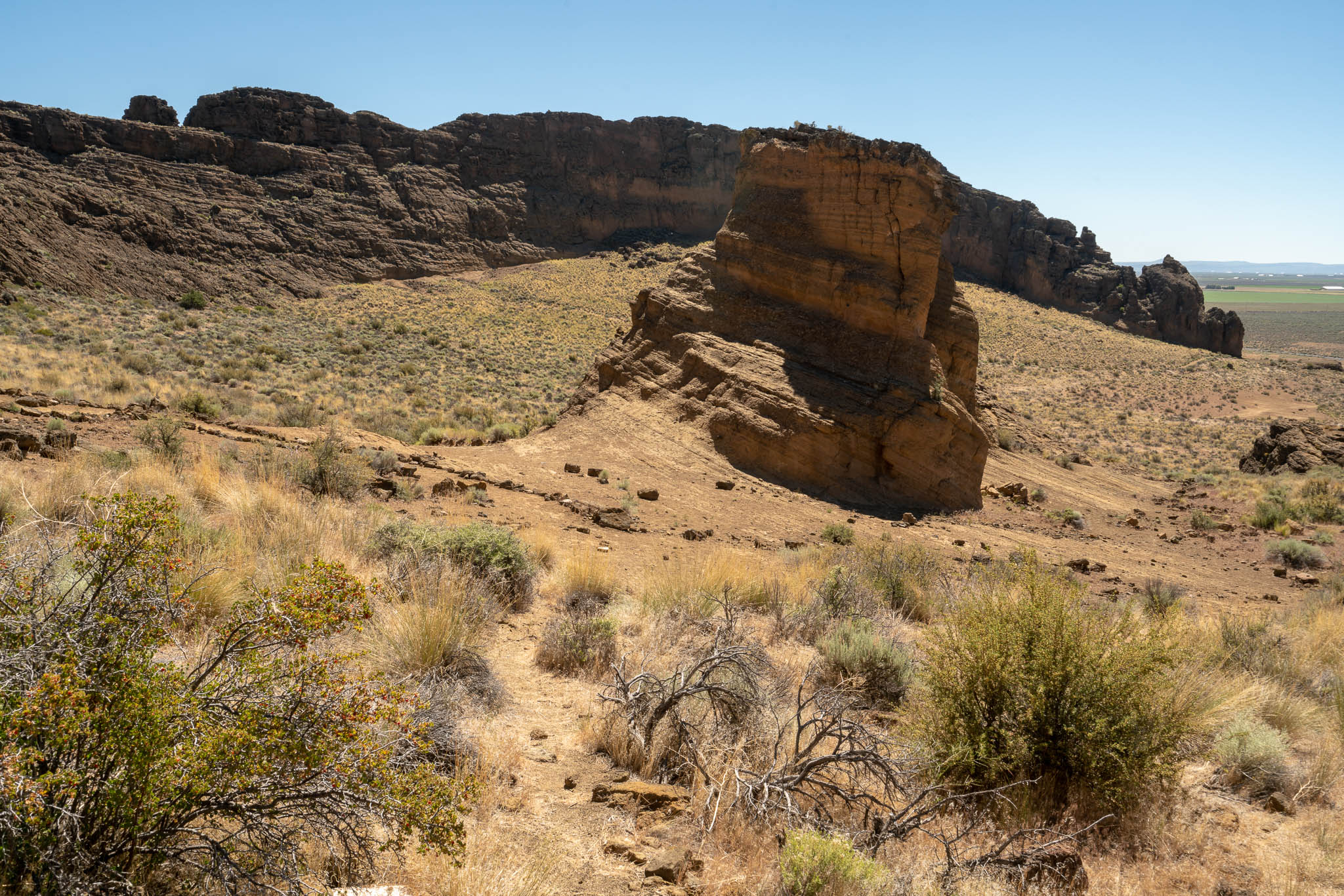
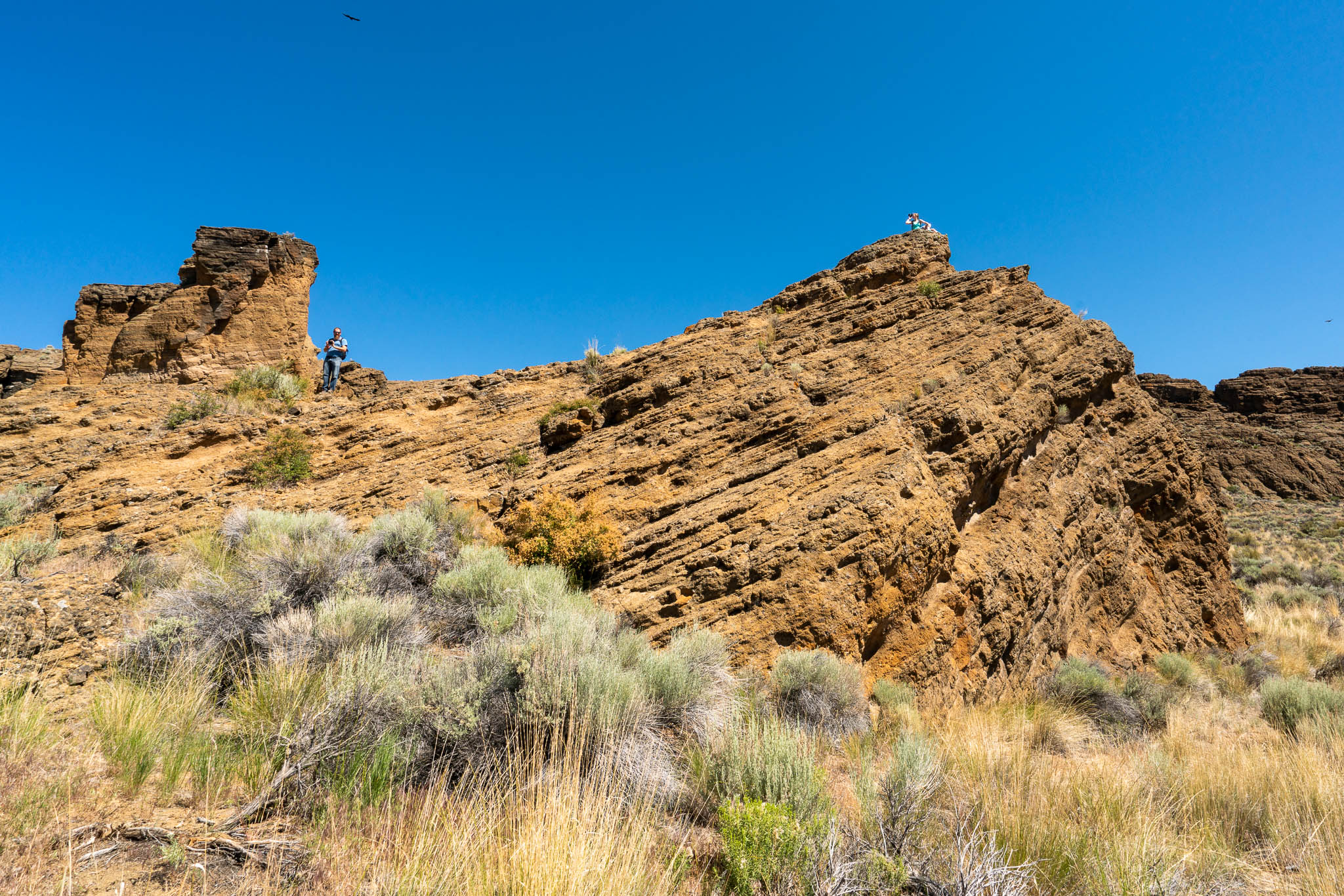
I took a lot of panorama pictures this trip because it’s hard to capture the scale of these large rock formations in a single shot. So here they are!